|
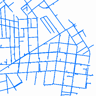
Width: 400 Height: 400 Extent:
YMin: 498353.41309484467 XMax: 2587826.4189596376 YMax: 503384.66309484467 Spatial Reference: 102719 (2264) LatestVCSWkid(0) Scale: 14489.999999999996 |
| ArcGIS REST Services Directory | Login |
| Home > services > Engineering > HydrantsOnline (MapServer) > export | API Reference |

|
Width: 400 Height: 400 Extent:
YMin: 498353.41309484467 XMax: 2587826.4189596376 YMax: 503384.66309484467 Spatial Reference: 102719 (2264) LatestVCSWkid(0) Scale: 14489.999999999996 |